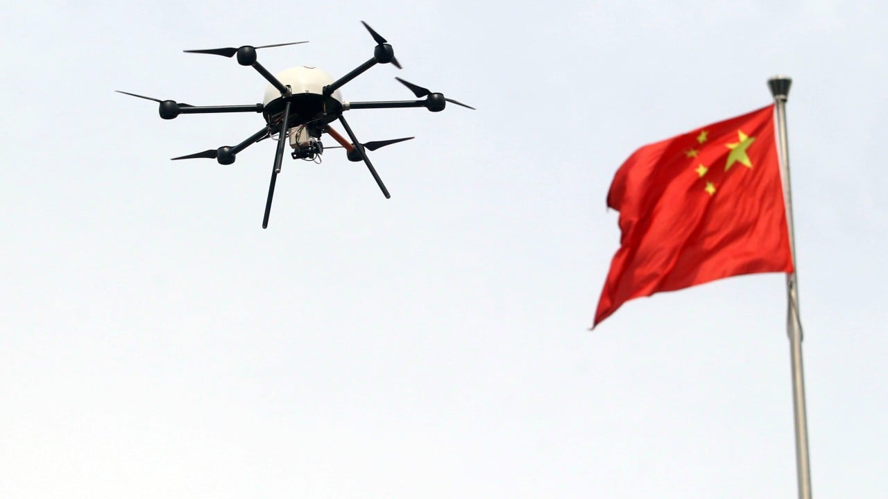
The proliferation of unmanned aerial vehicles (UAVs) has transitioned from a consumer electronics trend to a structural challenge for urban kinetic security. Beijing’s recent tightening of drone regulations represents a shift from reactive policing to a preemptive, data-integrated governance model. This is not merely an administrative update; it is the deployment of a "Low-Altitude Exclusionary Framework" designed to mitigate the inherent asymmetry between low-cost aerial platforms and high-value urban infrastructure.
The Asymmetry of Low-Altitude Risk
The fundamental problem facing Beijing’s municipal authorities is the cost-to-risk ratio. A consumer drone costing less than $1,000 can disrupt civil aviation, penetrate sensitive perimeters, or carry payloads that threaten public safety. The "Defensive Cost Function" in this scenario is inverted: the state must spend millions in electronic warfare (EW) jamming, radar deployment, and personnel to counter a platform that costs a fraction of the response.
Beijing’s regulatory tightening targets three specific vectors of this risk:
- Signal Chaos and Spectrum Interference: In a densely packed megacity, unauthorized UAV transmissions compete with emergency services and cellular networks.
- Kinetic Vulnerability: The descent of a malfunctioning 2kg rotorcraft from 120 meters carries sufficient joules of energy to cause fatal injuries or significant property damage.
- Surveillance Persistence: The ability for non-state actors to maintain high-resolution optical feeds over restricted zones erodes the state's monopoly on information gathering within sensitive administrative districts.
The Three Pillars of the Integrated Control Model
The new regulations move beyond simple "no-fly zones" and establish a logic of continuous digital tethering. The strategy is built upon three distinct operational pillars.
Real-Name Registration and Cryptographic Identity
Identification is the prerequisite for accountability. By mandating real-name registration linked to national ID systems, the state creates a "Digital Chain of Custody." Every serial number is mapped to a legal person. This effectively removes the anonymity that previously allowed operators to bypass restricted airspace with low perceived risk of litigation.
Geofencing as Hard-Coded Policy
The transition from advisory maps to mandatory firmware-level geofencing represents the "Hard-Coded Policy" pillar. Beijing has redefined its coordinates to include dynamic exclusion zones. These are not static; they can be updated via cloud-based pushes to flight control software. If a drone’s GPS coordinates intersect with a restricted polygon, the flight controller initiates an automated landing or a forced return-to-home (RTH) sequence. This bypasses human error and intent entirely.
The Real-Time Telemetry Feed
The most aggressive component of the tightened rules is the requirement for "Open Broadcast" or cloud-linked telemetry. Under this framework, drones are not just flying machines; they are active nodes in a municipal network. They must transmit:
- Unique Identifier (UAS ID)
- Latitude, Longitude, and Altitude
- Velocity and Heading
- Pilot Controller Location
This data allows the "Low-Altitude Traffic Management" (UTM) system to distinguish between a legitimate delivery drone, a hobbyist, and an unidentified threat.
Operational Bottlenecks and Technical Limitations
While the framework is logically sound on paper, its execution faces significant "Friction Points." No security system is absolute, and the reliance on GPS and cellular data creates specific vulnerabilities.
The GPS Spoofing Paradox
To enforce geofencing, the drone must trust its GPS coordinates. However, in high-security areas, the state often employs GPS spoofing or jamming to deter threats. This creates a feedback loop: a drone trying to obey geofencing laws may lose its positional awareness due to state-sponsored signal interference, leading to "flyaways" or unpredictable kinetic behavior.
The "Black Market" Firmware Loophole
A subset of the UAV community utilizes modified firmware or "OcuSync" hacks to disable altitude limits and geofencing. This creates a bifurcation in the sky: compliant users are restricted, while high-risk actors operating "unbound" hardware remain the primary threat. Beijing’s response has shifted toward physical detection—using acoustic sensors and radio frequency (RF) scanners—to identify these non-compliant signals in real-time.
The Economic Impact on the Low-Altitude Economy
Beijing is attempting a delicate balancing act. While tightening security, the central government is simultaneously promoting the "Low-Altitude Economy" as a new high-growth sector. This creates a tension between Security Maximization and Economic Throughput.
If the regulatory burden becomes too high, the development of autonomous logistics, medical transport, and infrastructure inspection will stagnate. The current strategy aims to solve this by creating "Pre-Cleared Corridors." Instead of a blanket ban, the city is moving toward a "Whitelisted Airspace" model where commercial operators with high-tier certifications can operate within specific 3D volumes of air, provided they maintain 100% telemetry transparency.
Strategic Forecast: The Shift to Algorithmic Enforcement
The next phase of Beijing’s drone governance will likely move away from manual police intervention toward automated electronic mitigation.
The integration of AI-driven RF analysis allows the system to recognize the "Digital Fingerprint" of specific drone models the moment they power on. We should anticipate the deployment of localized high-energy laser systems or directional microwave emitters in the core administrative districts. These systems will be linked directly to the UTM database; if a drone does not broadcast a valid, registered ID, the system will categorize it as a "hostile kinetic object" and initiate non-destructive electronic neutralization.
Organizations operating in the region must move beyond basic compliance. The strategic imperative is to integrate flight operations directly into the municipal UTM APIs. Failure to maintain a "clean" digital flight record will result not just in fines, but in the permanent blacklisting of hardware IDs, effectively bricking commercial fleets. The era of "blind" flight in urban centers is over; the sky is now a monitored grid, and every coordinate has a cost.


